Search
Content page
27 Nov 2023
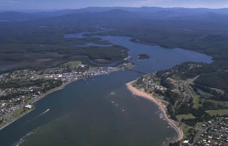
Clarence River | Estuaries
We collaborate with local government to monitor the condition of the Clarence River. Find out more about this estuary and its unique features.
Content page
07 Aug 2024
Millards Creek | Estuaries
Our water quality monitoring program has shown Millards Creek to have fair water quality. Find out more about the estuary and its unique features.
Content page
07 Aug 2024
Minnamurra River | Estuaries
Our water quality monitoring program has shown the Minnamurra River estuary to have fair water quality. Find out more about the estuary and its unique features.
Content page
18 Sep 2024
Clyde River | Estuaries
Our water monitoring program has shown the Clyde River estuary to have good water quality. Find out more about this estuary and its unique features.
Content page
27 Nov 2023
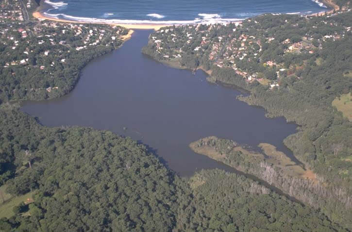
Cockrone Lagoon | Estuaries
Our water quality monitoring program has shown Cockrone Lagoon to have excellent water quality. Find out more about the estuary and its unique features.
Content page
19 Sep 2024
Mollymook Creek | Estuaries
Our water quality monitoring program has shown Mollymook Creek to have fair water quality. Find out more about the estuary and its unique features.
Content page
02 May 2023
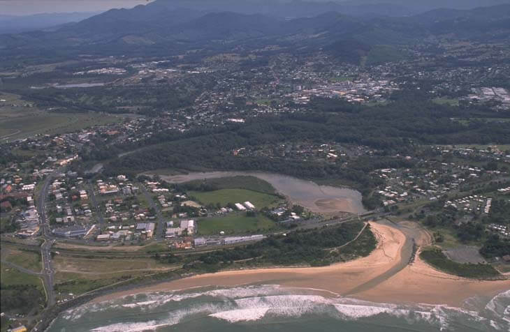
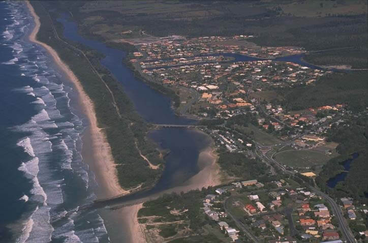
Coffs Creek | Estuaries
Our water quality monitoring program has shown Coffs Creek to have fair water quality. Find out more about the estuary and its unique features.
Content page
07 Aug 2024
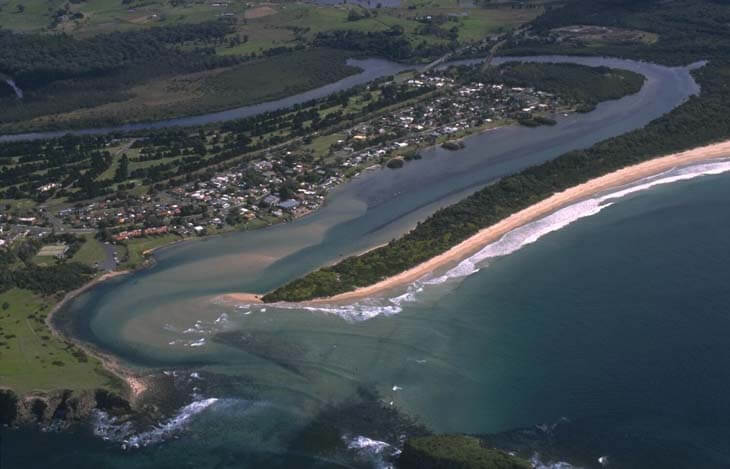
Mooball Creek | Estuaries
Our water quality monitoring program has shown Mooball Creek to have good water quality. Find out more about the estuary and its unique features.
Content page
22 Sep 2023
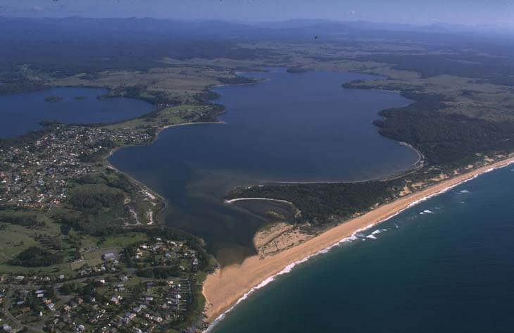
Coila Lake | Estuaries
Our water quality monitoring program has shown Coila Lake to have fair water quality. Find out more about the estuary and its unique features.
Content page
20 Sep 2024
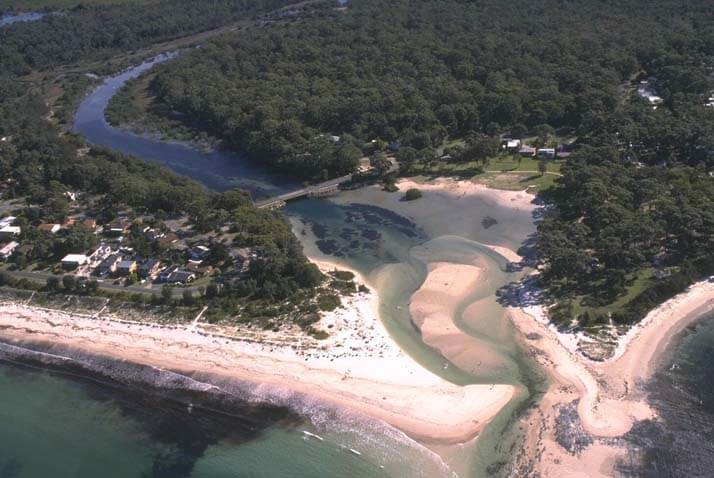
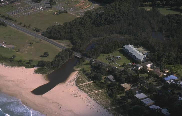
Moona Moona Creek | Estuaries
Our water quality monitoring program has shown Moona Moona Creek to have good water quality. Find out more about the estuary and its unique features.